ILAB – The global federation of 22 national antiquarian
booksellers associations, established in 1947. Over 1600 individual rare book businesses based in 38 countries worldwide belong to the ILAB community.
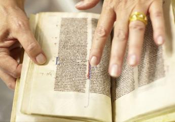
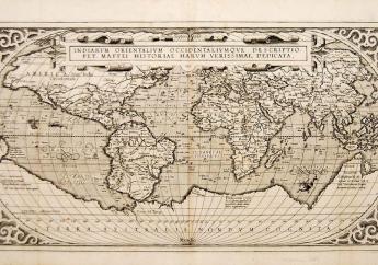
Looking to Buy? Search for rare and fine books, prints, maps & manuscripts offered by ILAB booksellers

News

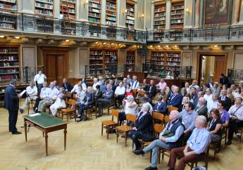
History of ILAB
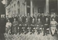
In 1947 representatives from five countries, Denmark, France, Great Britain, the Netherlands, and Sweden, met in Amsterdam to discuss the formation of an International League of Antiquarian Booksellers (ILAB), with the aim of establishing new hope for international peace through open markets, to foster friendship and understanding, and to counteract the animosity and suspicion engendered by World War II. ILAB was formally incorporated in Copenhagen in September 1948.